Click on photos to see a larger view
Click here to see a map of the Duc Pho / LZ Bronco area.
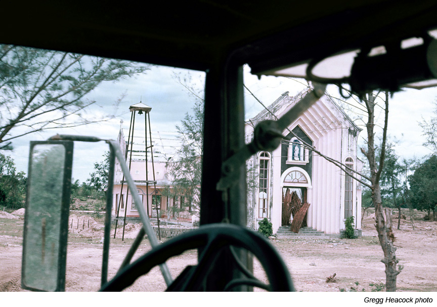
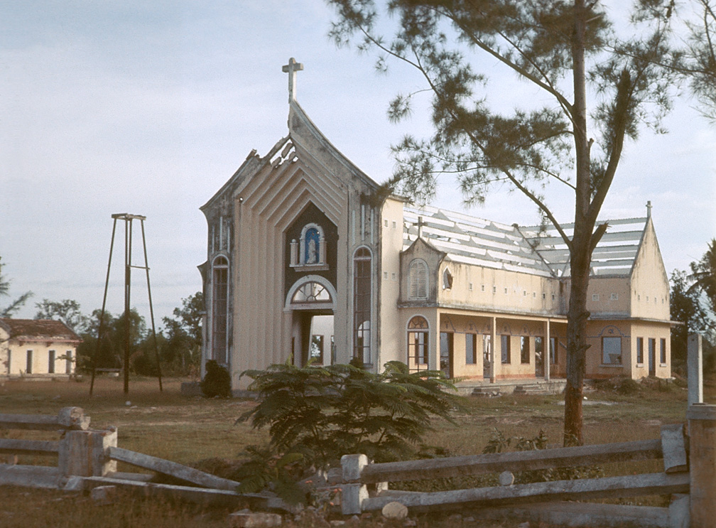
G30 - Destroyed church located along Highway QL1 a few miles north of Duc Pho. Click here for another view of this same church.

G31 -

G32 -

G33 - Damaged plane

G34 - Different view of same damaged plane shown in above photo.

G35 - 5-ton dump truck that backed over a mine.

G36 - 3/4-ton vehicle that back over a mine.

G37 - Close up view of 3/4-ton vehicle shown in above photo.

G38 - A jeep that hit a mine.

G39 -

G40 -